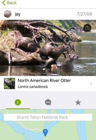
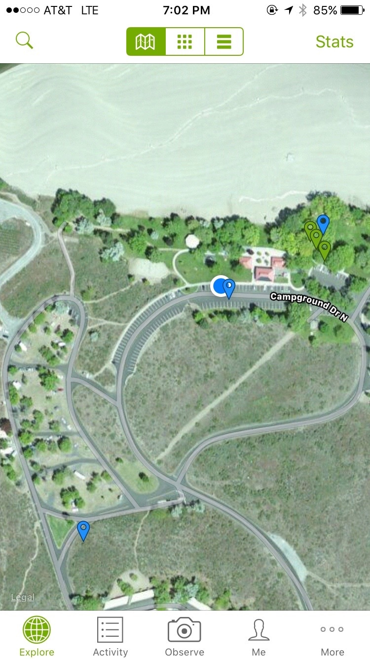
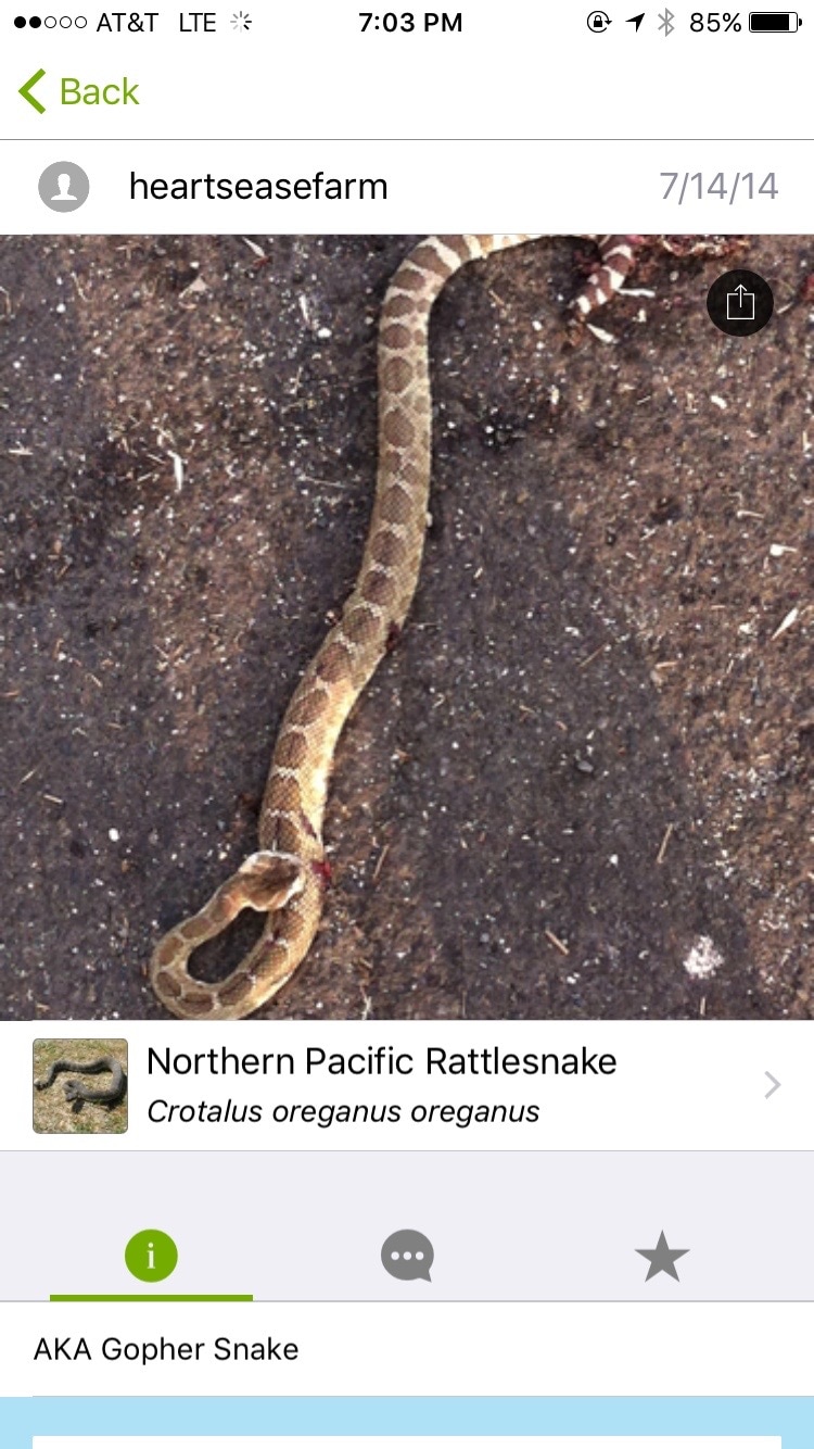
 Today’s post will be a quick plug of an excellent project called iNaturalist.org. It is free and I don’t have any affiliation with it, I just like it. I’ve been using it for about five months now (since Texas) and it has made the wilderness parts of our adventure more fun and educational. The project has a website and a mobile app, which allow you to record photos of wildlife and upload them, share them with the community, and get help identifying them and discussing your findings. It is also great for figuring out the name of an unknown plant or animal, and sometimes even for locating wildlife that you want to see. At it’s simplest, it works like this. You take a photo of a mushroom, flower, animal, or whatever with your phone, which geo-tags the location using GPS. Then you use the iNaturalist app to share that photo. You can browse/search their field guide and tag the photo with an identification, if you think that you know what the organism is. Others can comment, or provide their own identification. You get alerted when someone has identified your subject, and click a button to agree with their identification (or not). After the ID has reached consensus (or an expert/scientist has reviewed and confirmed its veracity) your photo is elevated to the status of research grade, which means that it can be used by researchers who are interested in what plants and animals were seen, where and when. They can tell, for example, how wolves have migrated, whether an invasive fish species has reached The Great Lakes, or what effects the rain in California has had on seasonal blooms and wild bees. Below is an example of one of my photos. Some folks identified it as a Beach strawberry. These also serve as a nice notebook for what plants and animals we see and where. You can use photos from any camera, but unless it has GPS you will need to manually tag the location. 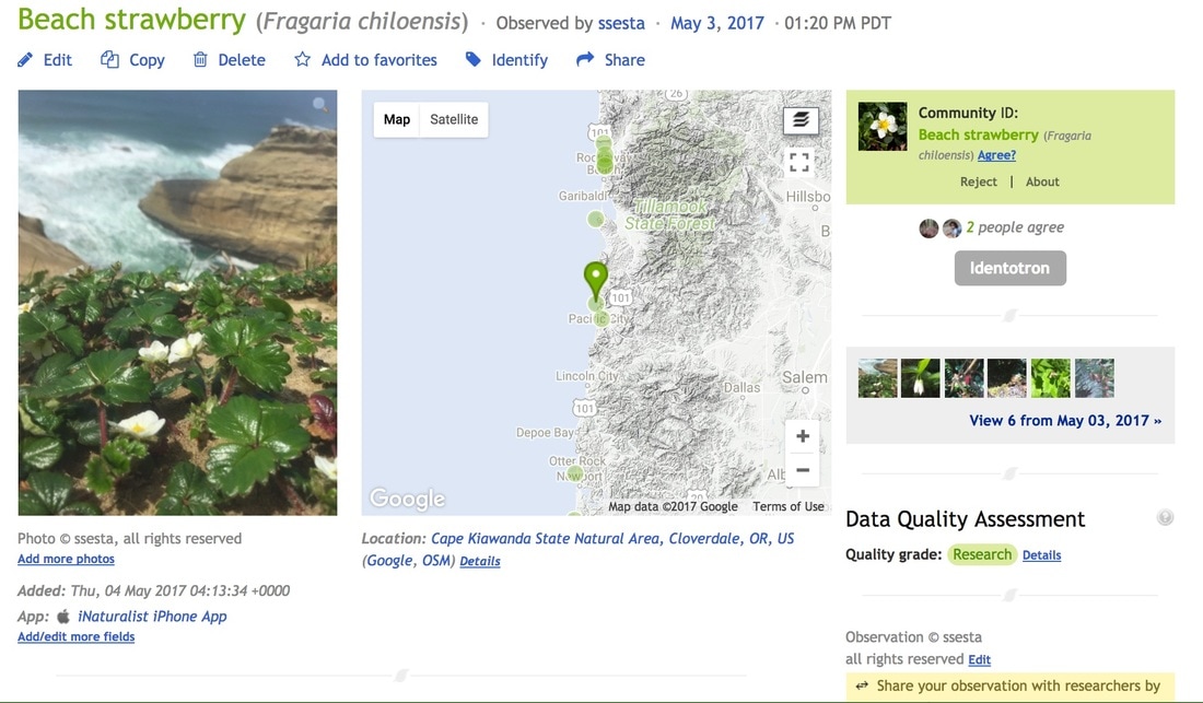 The most useful part for travel is that you can access that information too. There is an 'Explore' feature that lets you see other people's uploads, with color-coded tags on a map. So, if you don’t want to run into grizzly bears, you can see where they’ve been spotted. If you do want to see river otters, you can at least make an informed attempt at being in the right place at the right time. This can of course be a blessing and a curse – below, for example, is a phone screenshot from a park near Grand Coulee Dam in Washington. I got out of the truck, looked to see what animals might be in the area, and found an observation (the blue tag) from the parking space next to our truck.
iNaturalist.org is just one of the great new sites working to crowd-source scientific data gathering and analysis. If you are interested in astronomy, another cool one is planethunters.org, which I learned about on NPR's Science Friday podcast. Planethunters is just one of over 100 projects affiliated with Zooniverse, a platform specifically for launching people-powered research projects. Data science and machine learning are advancing at the rate of science fiction, and these systems and models are just starving for large, quality data sets for analytic and AI training needs. A corresponding explosion in research funding for biology, physics and other sciences is probably not coming any time soon, but maybe we amateurs can get involved to collaborate and help create data sets while hiking, bird watching, fishing, stargazing or snorkeling, and have some fun in the process. AuthorShane
0 Comments
Leave a Reply. |
AuthorsKathryn Tully and Shane Sesta are a married couple, one American and one Brit, who are spending a year traveling across America and writing about their discoveries. Sonny is their rescue cat and fried chicken aficionado. 
Archives
February 2018
|
 RSS Feed
