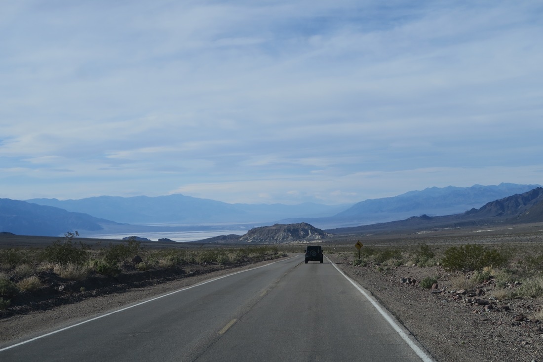
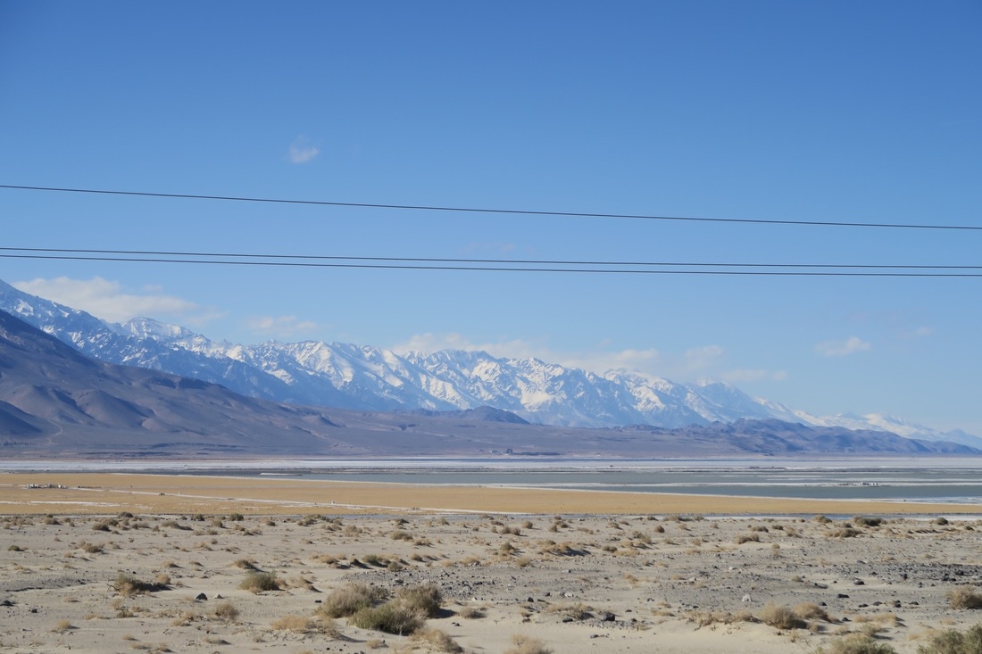
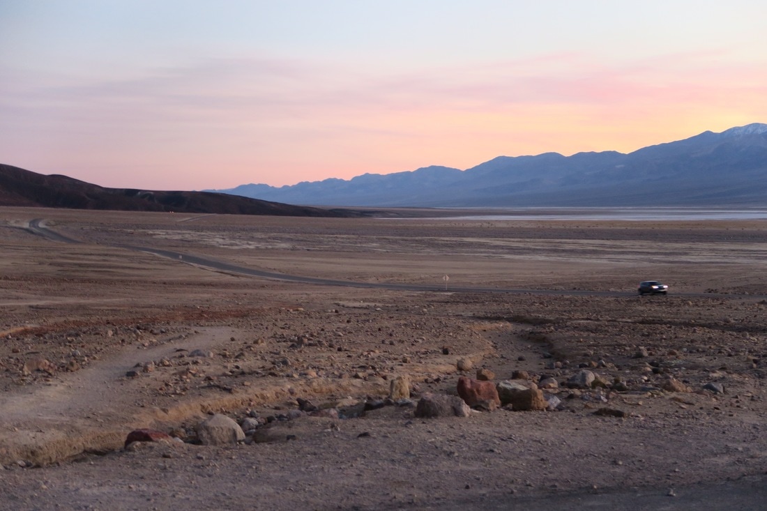
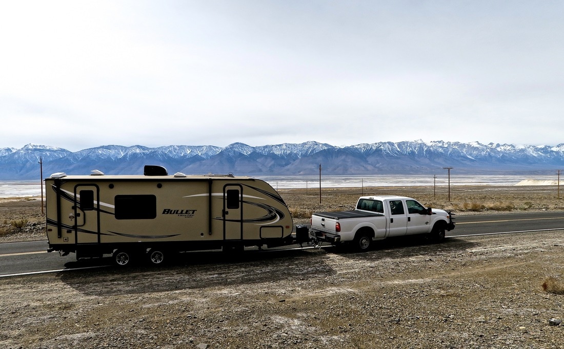
 Driving back to our Death Valley campground, with the valley's salt pans in the distance. Between Los Angeles and Sequoia National Park, to manage the timing of arrangements with friends for Yosemite and San Francisco, our California plans included about a week in Death Valley National Park. Our expectations were, essentially, that it would be a place that wasn’t cold where we’d get to see some marginally interesting "very dry stuff”. No one warned us about the beauty of the roads in, out, and around the park. Leaving Los Angeles with the camper went smoothly but was still stressful. California drivers are very competent but also very, often pointlessly, aggressive. Meanwhile, highways in the LA sprawl zone split and merge every few miles. Drivers need to be in a specific set of traffic lanes at any time to stay on course. This actually keeps the heavy traffic flowing relatively efficiently, as drivers adroitly merge, and currents intersect, with less-than-usual backups at overcrowded exits. So California drivers are good at making a lot of lane changes. Unfortunately, selection pressure for this skill across the population seems to encourage a culture of serially obsessive lane changers. When things get congested, drivers constantly compete to cut into the fastest lane, executing last-second merges and multi-lane sweeps to maximize their spot in the queue. This causes and perpetuates the very stop-and-go congestion they are fighting.
We did not encounter much congestion on a Monday afternoon, but executing lane changes in this environment is unpleasant with a large trailer. Every few miles, my co-pilot would call out “get into the right three lanes,” or “left two lanes must exit, get over,” and The Beast’s 6.7 liter engine would bellow as the whole rig surged up to lane-synchronization speed, gradually and deliberately inserting itself between a 700-series BMW and the silver Hyundai with matte black primer hood cutting across two lanes in front of it. Within 90 minutes or so we were back onto more normal highways with New York expressway-style congestion and activity. Very soon after that, we escaped the LA commuter radius altogether and were on near-empty road. And back in the Mojave desert. Groups of joshua trees as fine as those in the Joshua Tree National Park became the roadside view for about the next hour. Reaching Mojave, population 4200, altitude 2762 feet, we stopped for fuel, and grabbed takeaway from a donut cafe / deli named Stoken right behind the gas station. Their counter features a great variety of hot and cold sandwiches, ice cream and fresh donuts, and is highly recommended. At lunchtime it seemed like half of the 4200 inhabitants of Mojave were either there or stopping in, the mailman included. Inside the door was a cork community board for lost pets and classifieds. Employers in Mojave have openings for experienced tradesmen. Mojave has an ample talent pool of test pilots looking for work.
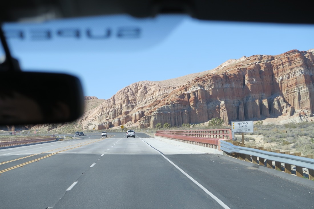
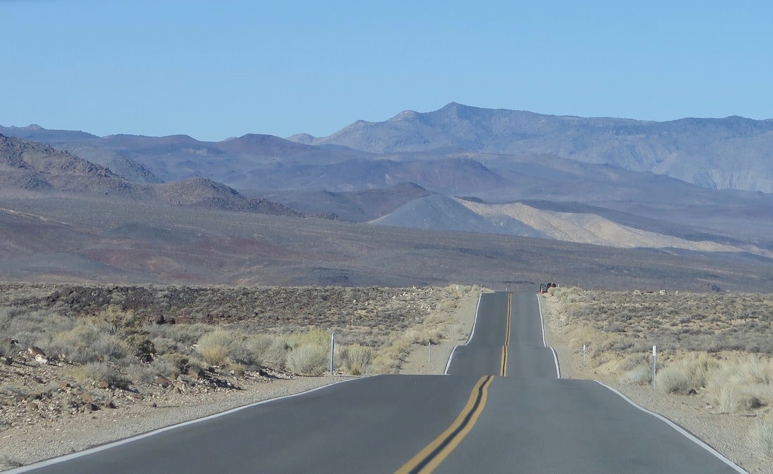
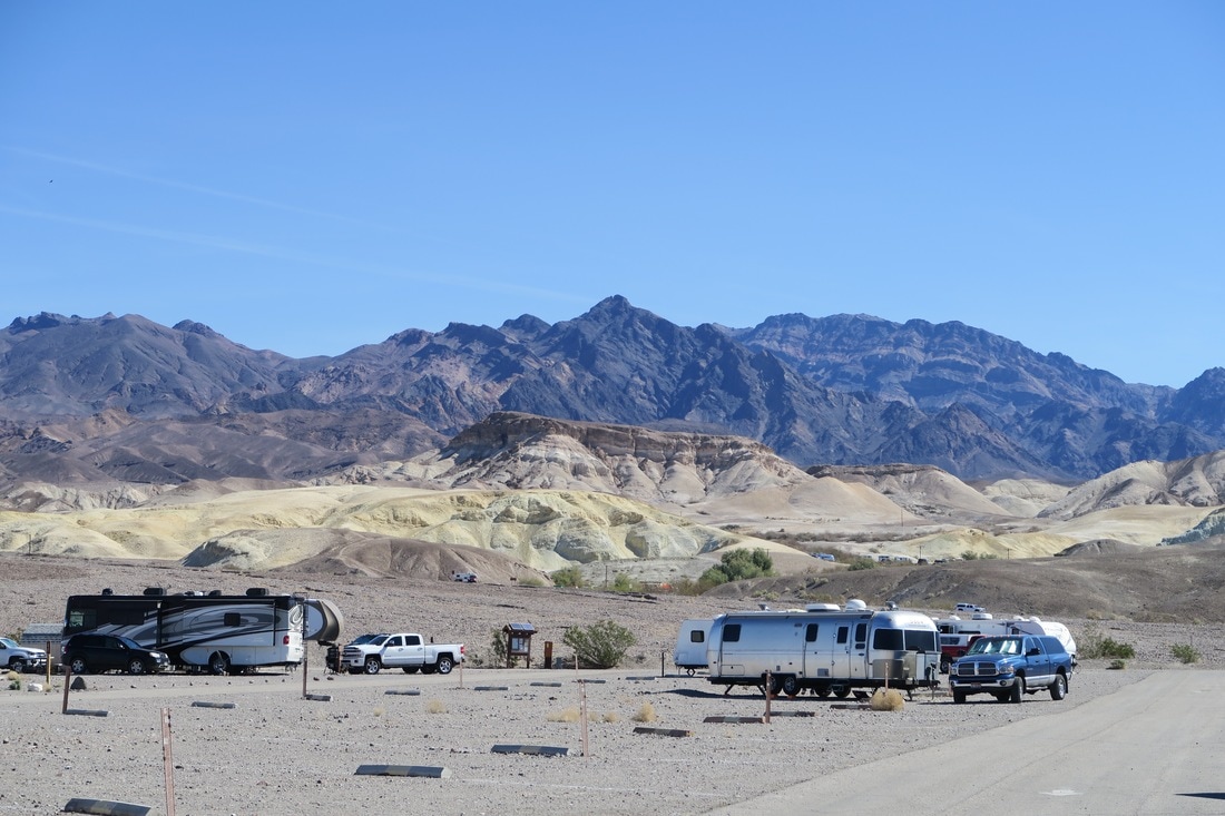
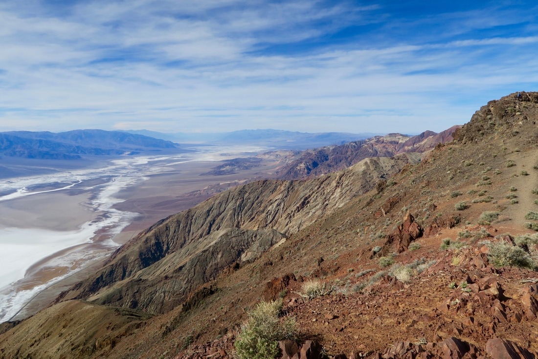
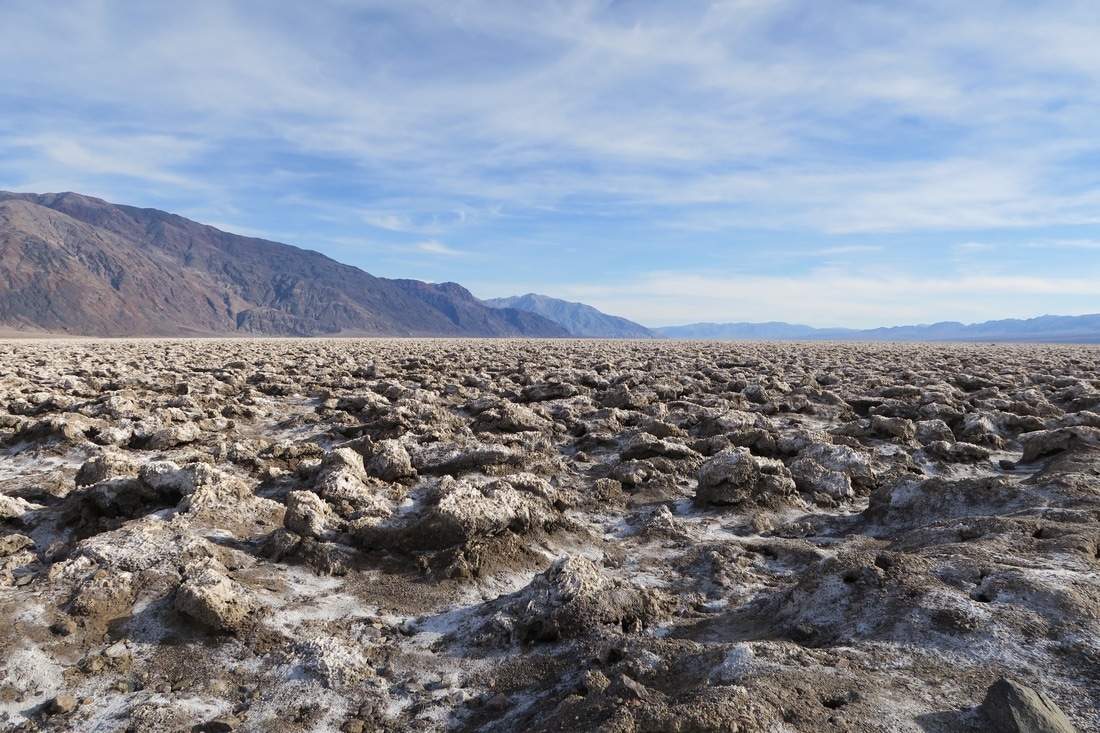
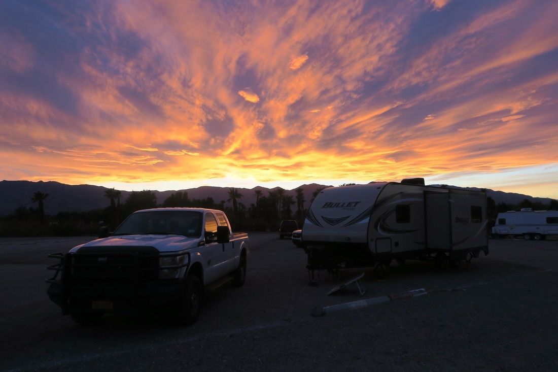
Back on the road, you have to choose a route around the gigantic Naval Air Weapons Station at China Lake. (Per navy.mil: "In total, its two ranges and main site cover more than 1.1 million acres, an area larger than the state of Rhode Island.") Pulling a trailer, the best choice is to head directly north, keeping the Sierra Nevada mountains on your left. There are only two refueling opportunities between Mojave and Furnace Creek in Death Valley – one in the very small town of Olexa, too near to Mojave to be of much use, and one in the Panamint mountains that charges their helpless prey $5 per gallon. This leg is where we really started to get excited by the scenery. The Sierras and the Panamint mountains both rise extremely abruptly out of the desert floor and the valley between them is a very scenic stretch. We wished greatly that we could continue past Lost Pine and on up that valley all the way to the eastern entrance of King’s Canyon and Yosemite, but we turned across the incredible Owens Lake basin and climbed into the highlands on the western edge of Death Valley. It is worth noting that most visitors to Furnace Creek, the natural spring oasis at the center of most human activity in Death Valley’s 3.4 million acres, arrive from the east. It is only a little more than a two hour drive from Las Vegas, as opposed to 5.5 hours from LA, and the most popular car in Death Valley is a neon convertible Mustang with Nevada plates from Avis rental. Descending into the park from the west involves driving over 70 miles of winding mountain and canyon roads, affording views of salt flats and snow-capped peaks limited only by the earth’s curvature. The park's Sunset Campground was cheap and roomy, with amazing mountain views in all directions, great for sunrises and sunsets. There was much more to see than we anticipated. Devil’s Golf Course, a bizarre landscape of jagged, two-foot mineral crust formations in the middle of the valley and well below sea level, is a must-see. The hikes and views, particularly Dante’s View, easily rivaled anything at Big Bend and surpassed most other places we’ve seen for sheer scope and grandeur. Fortunately, most of our top picks were in hindsight within easy driving distance of Furnace Creek, and could be done in a very aggressive weekend or three-day visit. We enjoyed some hikes, including the aptly named Golden Canyon, but can't imagine how they could be done in summer. Surprising no one, the solar panels rocked in Death Valley, the driest place in North America and the hottest place on earth.
Our next major planned stop was Sequoia and Kings Canyon national park. Unfortunately, recent weather and current snow melt narrowed our route options and required us to drive back out of Death Valley to the west, and south all the way down and around the Sierras again before proceeding north to Sequoia. Because this meant another five to six hour journey, we decided to make things interesting by breaking it up and traveling through the Kern Valley and spending a few nights there on Lake Isabella, and visiting the Sequoia National Forest from the south before heading up to Sequoia National Park. This was an inspired choice. We loved Lake Isabella, Kernville, and the southern forest. Interestingly, the locals told us that the lake had been nearly dry (at 5% of capacity) for the last five years, so camping across from glassy mountain reflections, fed and drained by thundering streams, was a very lucky break for us. When we departed the valley to the west, we were treated to what must be one of the great underrated scenic drives in the country. For 45 miles, the road descends along the river valley with the Kern river (and a precipice) on your right and sheer rock face on your left. The view down the valley is of water rushing over giant boulders and rolling green hills spotted with buttes and rock. In several places, there is no guard rail or shoulder, reminiscent of the Gorge du Verdon in France or Italy's Amalfi mountains, only without crazy Europeans blind-passing you on motorcycles. For the most part, it is not so scary as all that, although driving on curving cliffs for such an unusually long distance requires concentration and stamina. Highly recommended for convertible roadster travel and scenic drive aficionados. For small to midsize RV drivers, I’ll classify it as doable. I did not see any bus-length trailers, buses or commercial rigs.
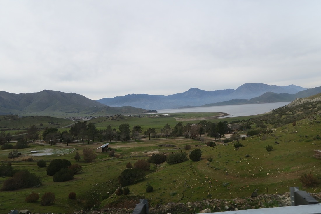
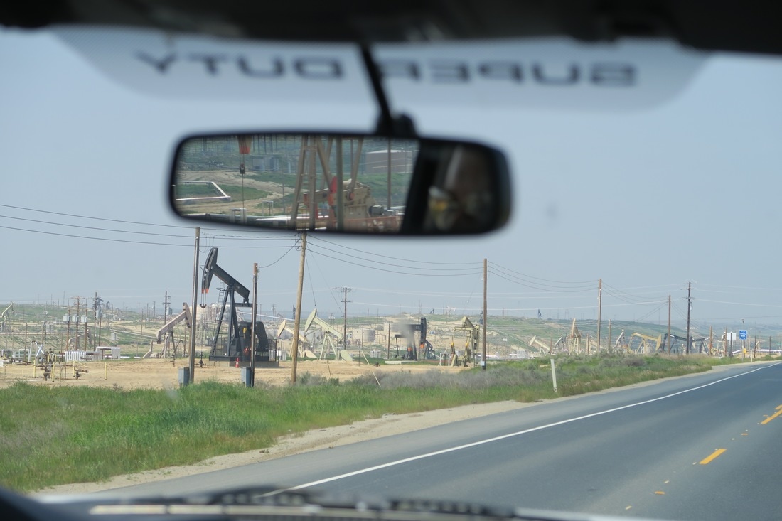
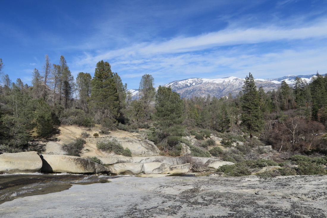 Sequoia National Forest. Much of the remaining ride to Sequoia National Park took us through some frankly ugly and boring industrial farmland. For New Yorkers, orange and lemon trees are novel and cheerful surroundings, but endless, flat plains of orange rows, peppered with stretches of factories, power plants, and plots I can only describe as oil rig farms was a bracing letdown after the Kern Valley. Re-entering the foothills of the Sierra Nevada range from the west brought us to Lake Kaweah and our number one campsite view so far – more on that to come! 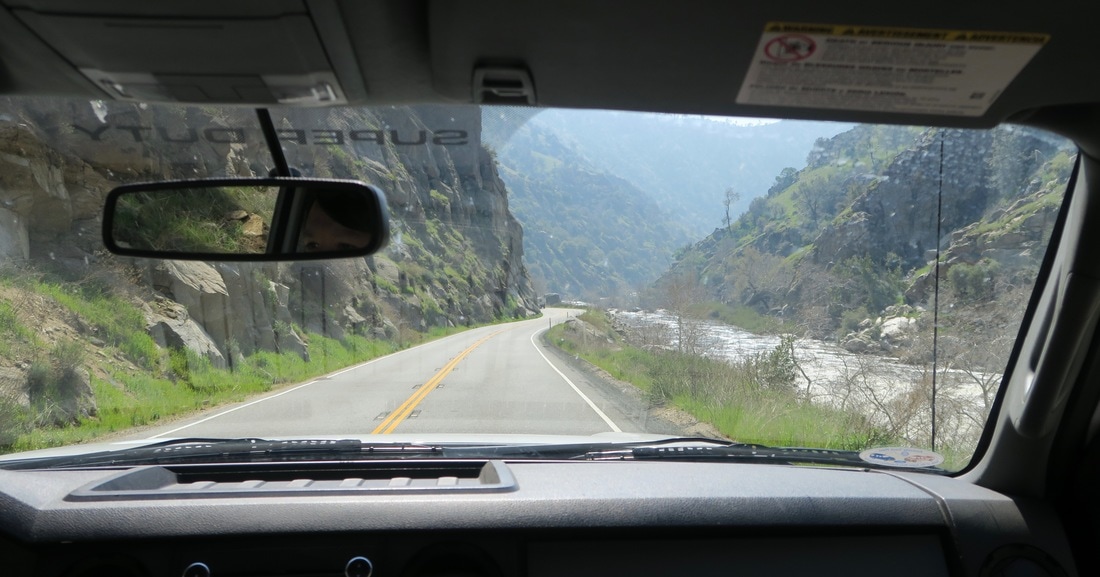 The drive west out of the Kern Valley towards Bakersfield.
AuthorShane
0 Comments
Leave a Reply. |
AuthorsKathryn Tully and Shane Sesta are a married couple, one American and one Brit, who are spending a year traveling across America and writing about their discoveries. Sonny is their rescue cat and fried chicken aficionado. 
Archives
February 2018
|

 RSS Feed
