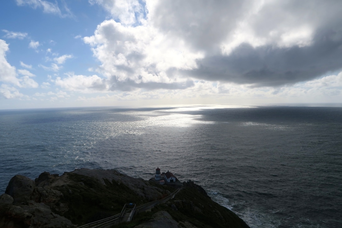
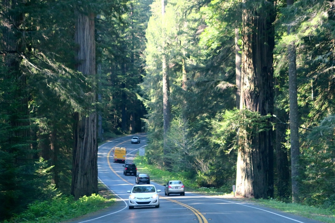
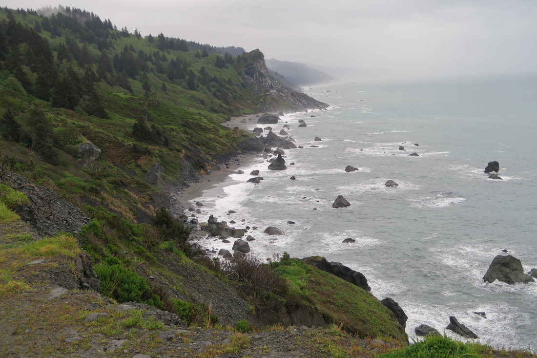
 When I look back on my previous posts, gushing about scenic drives, it is quite often the case that the scenery that I just finished gushing about on the blog is quickly surpassed, or becomes so commonplace that we realize that the local population considers it boring background radiation. A very superior drive that I did not post about, but would have fallen into this category, was the drive along famous California Highway 101 into Redwood National Park, which is indeed remarkable for several reasons. The trees are so tall on either side of the road that the sky above is reduced to a narrow sliver of light, hundreds of feet above, and there is absolutely no hope of seeing anything more than a few meters from the shoulder. This was the first slot canyon of wood and ferns of its type that I had ever seen. And yet, occasional deforested breaks, and constant “Entering tsunami evacuation zone” and “Leaving tsunami evacuation zone” signs remind the traveler that the rough, rocky coast is never far away. Occasionally, without ever leaving the admirably well maintained and trailer-friendly roadway, we found ourselves suddenly agape, among a grove of true 'giants', a sobering reminder that most of the individuals in these epic redwood corridors are young adults from the era of George Washington or Shakespeare, but with luck might survive to be as old as Jesus, or even Homer, would be today.
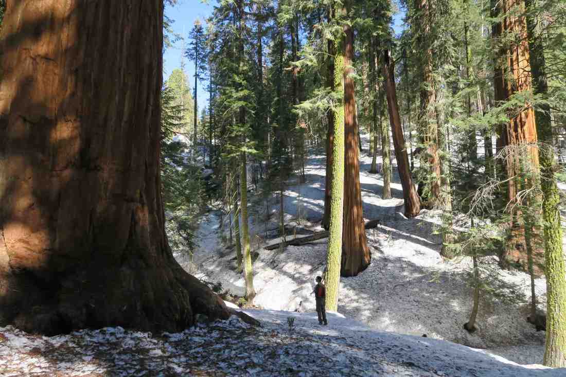
All of that to say that the trip north, OUT of Redwood National Park was replete with even more deep, dense corridors, soaring giants, bluffs, bays, and buttes. Also, that drive, following the Rogue River north into Oregon, brought us to our first really green water. Waterways that are fed by rain runoff or snow melt are the kind that we were used to. Most of our international travel has been to temperate, sub-tropical, or tropical climes without glaciers, so we’re used to clear water in creeks and streams or muddy/silty river water, with the occasional exceptions caused by microbes or mineral content. The streams and rivers in the Sierra Nevada mountains, i.e. Sequoia and Kings Canyon and Yosemite, had a skim milk quality, which we now realize was because it was partially glacial melt water. (We visited those places in spring, so there was a lot of snow melt mixed in.) Glacial water, as we have read about at dozens of information stations since, contains a high quantity of 'rock flour', from grinding during glacial formation and evolution. This gives the water an opaque quality, and a milky, blue/green appearance. Our aforementioned drive from Redwood National Park to the Valley of the Rogue, along the Rogue River, rewarded us with our first opportunity to delight in this ‘green water'. The trip up to Crater Lake and beyond into central Oregon gave us an opportunity to compare soapy green creeks with crystal clear snowmelt streams. At Mount Rainier, the ranger station and placards at overlooks spelled this comparison out to us, and we were then able to share this knowledge with my mother as we followed and crossed the wheel-spoke rivers flowing from the Olympic mountains as we circumvented the Olympic National Park peninsula.
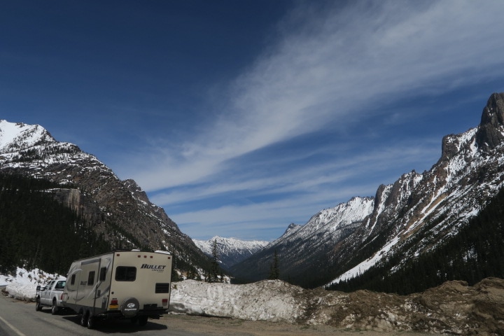
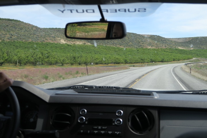
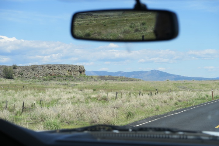
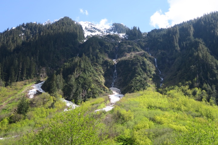
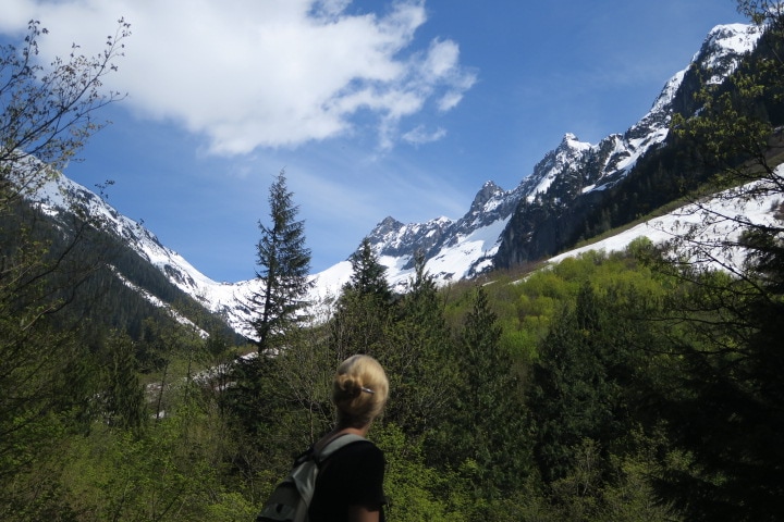
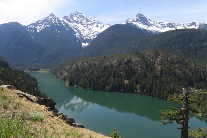
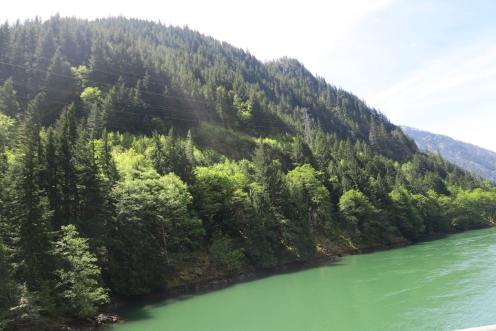
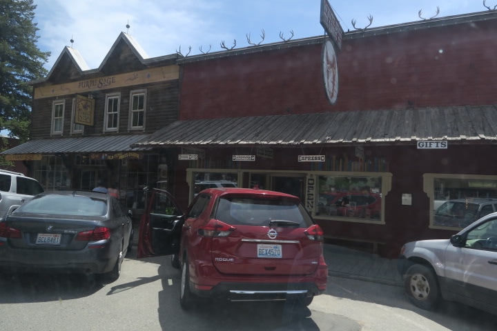
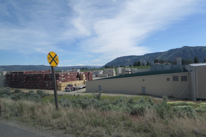
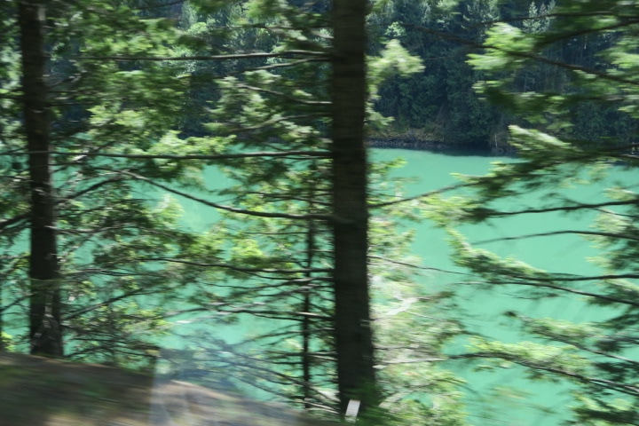 Poor but unenhanced photo from the truck window of very green Skagit river water. The reason that I’m telling you this is to make it bluntly clear that by the time we got to North Cascades National park, and to the Skagit river, we had seen our share of green water. Translucent, emerald green. Turquoise, powder blue-green, limewater, mountain-dew-the-beverage green. For further context, we were familiar with France's Gorge du Verdon fluoride green and the reflective salt-water green of Emerald Lake in Thailand’s Ang Thong National Park island paradise. That being clear, when we were driving along Route 20, the Cascades Scenic Highway, with the Skagit river to our right and the Cascades rising before us, and I was pointing as emphatically as one can while pulling the trailer, Kathryn commented, “My god, it looks like they have colored it for some sort of Saint Patty’s day celebration”. The way I'll describe it: imagine chocolate milk, if chocolate milk was green. In summary, the drive from the Cascades begins with the best green water yet. Hydroelectric dams have created small, managed green lakes among the mountains. The highway follows the river into the foothills, through typical Pacific northwest forest, thick with conifers, ferns, and moss. Then the highway leaves the river and the switch backs begin, winding upward to better and better views, with fewer and fewer green plants between the conifers, and finally to snow. After photographing these peaks from forest hikes, paved overlooks, and dodgy dirt pull-outs, we were now among them. The highway crests in such a high mountain pass (Washington Pass, 5477 feet) that we didn’t have to crane our necks. In late May, roads to scenic views and trailheads were blocked by many feet of snow and ice. Each closed intersection blossomed with a disorganized scrum of SUVs. Most of their owners were climbing onto the snow with cameras, but some had hiking poles, and a reasonable number had packs that were hitched with skis. 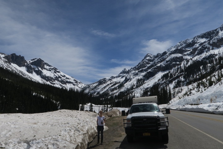 Just east of Washington Pass The eastward descent is abrupt, and the other side of the Cascades is a completely different world. The Washington State license plate reads Evergreen State, below a picture of Mount Rainier, but that’s not the whole story. If ferns and moss have ever lived east of the Cascades, it must have been before the last Ice Age did its work on the landscape. Two hundred-foot trees were replaced with scrub trees, and bare, ancient Gneiss were replaced with red, high desert plateau. As the descent ended, we were back in the high desert that we learned about in Oregon, not surprisingly, at the same longitude. Next came the extremely cute, touristy town of Winthrop, sporting old-west facades, hip shops, enticing eateries and facilities for RV parking and town-touring bike rental. So we definitely would have stopped there, except... cat. The road passes through a bit more high desert, and the awesomely named town of Twisp, until suddenly, small leafy trees rise in rows reminiscent of California’s central valley. Approaching long, thin Lake Pateros, we entered industrial apple farmland. Do not picture pastoral east coast grassy hills covered with apple trees. Previously, when told that Washington State was the leading producer of apples, I was like, “Of course, it is roughly the latitude of New York. Why not?" But it isn’t like that. As we drove around the lake, which is bordered by a few very large apple processing and packaging facilities, on both sides of the road, a fertile belt of apple rows extends maybe 200 to 400 yards from the edge of the water, in every direction, over every topographical feature. The reason the belt is fertile is that it is irrigated from the lake. Heavily. Literally one truck-width beyond the apple belt is a sandy scrubby desert. It is a very pretty (and, in May, blooming) desert, but the irrigation terminus line is jarringly abrupt. Given the natural beauty of the surrounding environment and, being honest, of the manmade lake, it was disappointing to see California-style water management battlegrounds suckling The Cascades' river nectar so close to the parkland still in our rearview mirror.
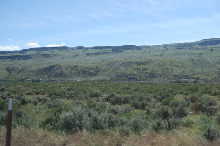
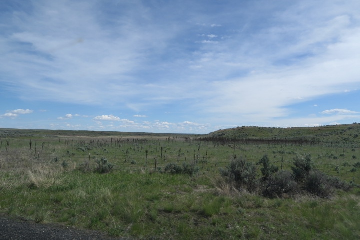
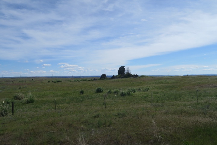
 Arid apple farm Not long after this, the desert gets even more arid, and there are bone dry washes and knee-high foliage reminiscent of the southwest. This soon changed again as we ascended, gradually but continuously, and things counterintuitively got greener and grassier. Soon we were in the high plains. The foliage didn’t cover our shoelaces and we could see forever. We could see The Cascades, three hours drive behind, so clearly they appeared a short walk away. Hundreds of clouds diminished into distant horizons. Sonny mentioned that in his youth as a cowherd on the prairie, one of his nicknames was High Plains Drifter, but we diplomatically reminded him that is the name of a Clint Eastwood movie from before he was born, as non-confrontationally as possible, not bruising his ego. And indeed it is cattle country, beef cattle from what we saw, although despite tempting watering holes and tall grass, the cattle density was low, and we mostly saw wide, boggling expanses of fenced but empty plains. Then we descended to our destination at Grand Coulee Dam, one of the main reasons for all those irrigated apple farms, and a canyon opened before us. I could convincingly market road footage from this drive in video guides for British Columbia, Texas, Central California, and New Mexico. We are only halfway across Washington State, but I bet we’ve also seen the greenest water ever. Or maybe until Glacier National Park in two weeks, but what are the chances?
 This is Washington State AuthorShane
0 Comments
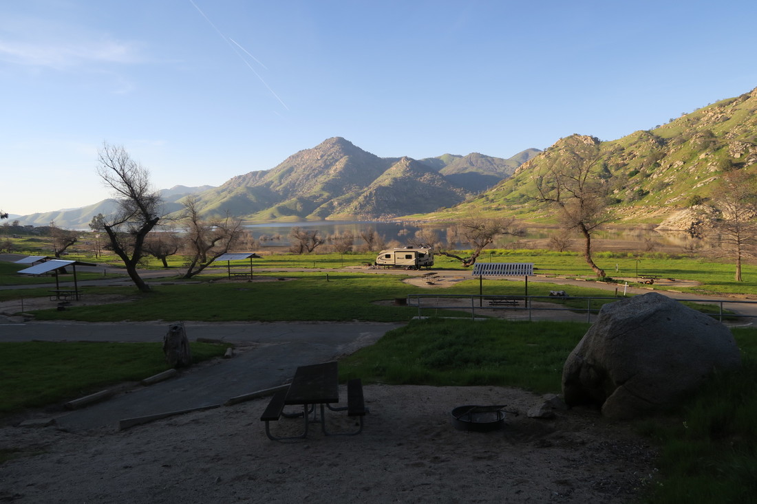
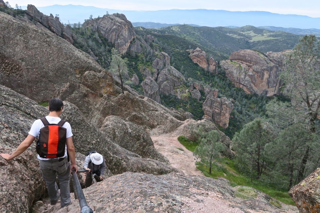
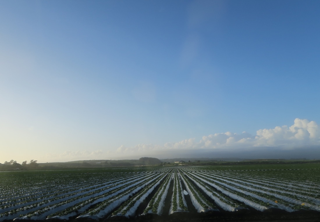
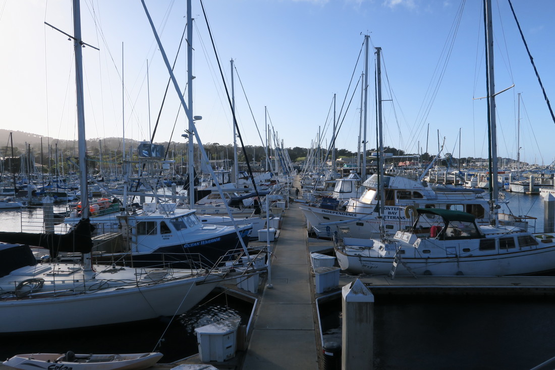
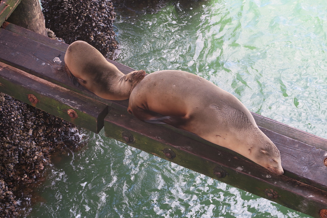
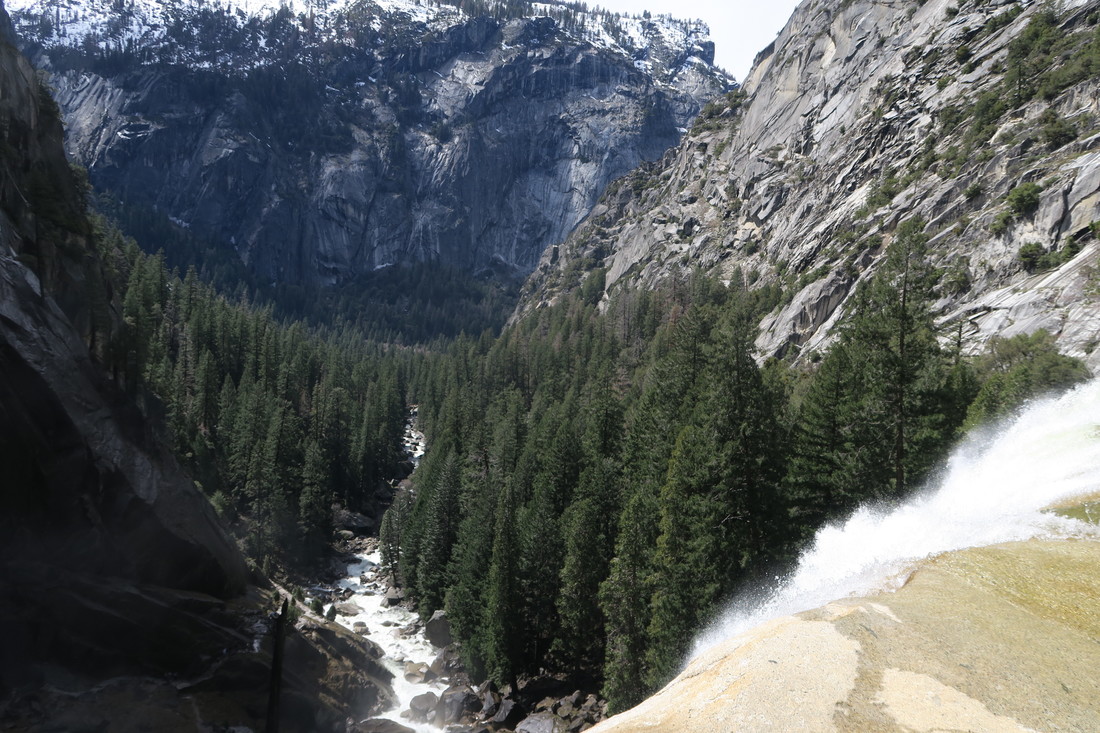
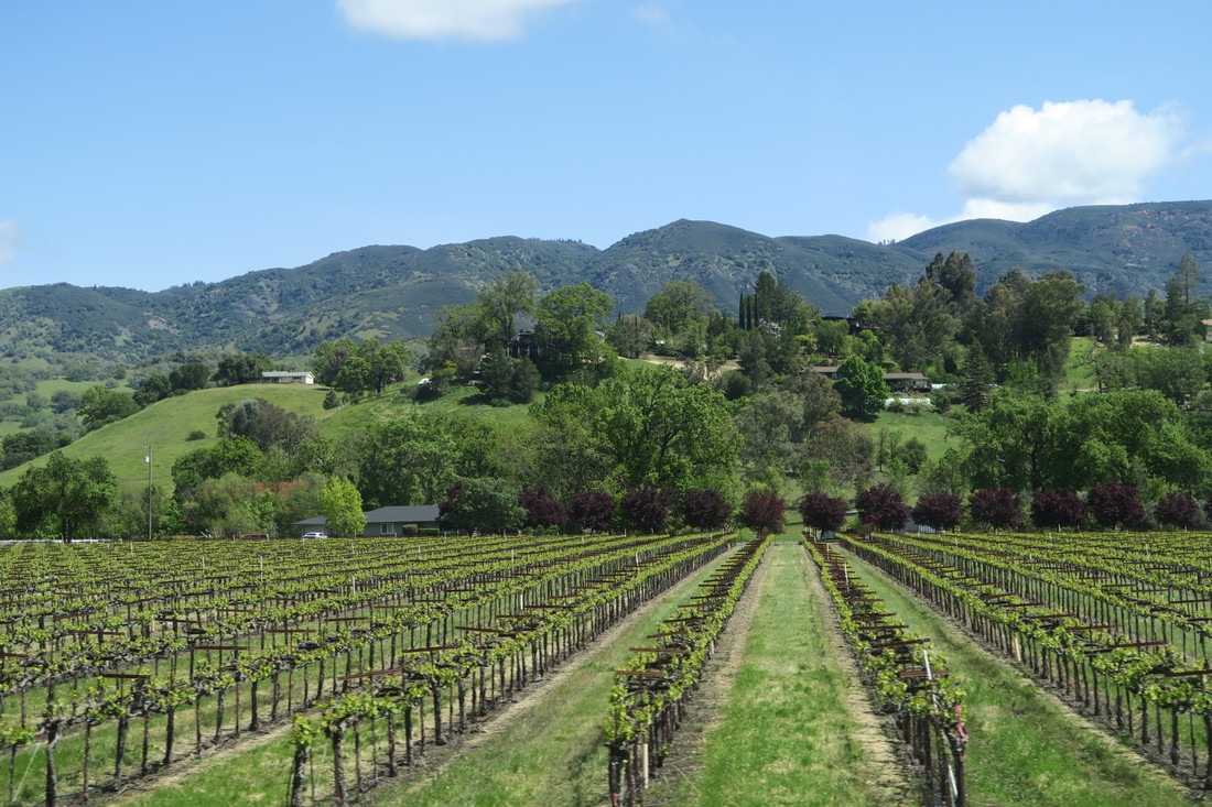
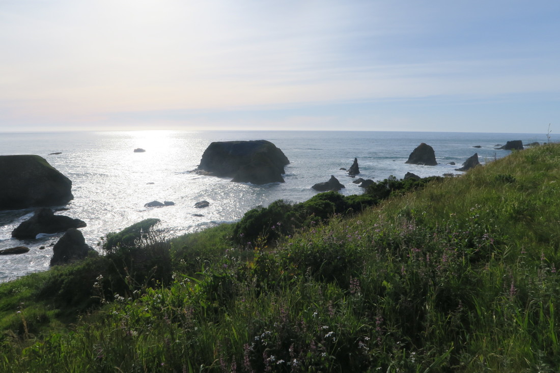
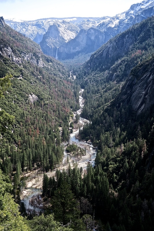 A view of Yosemite Valley, Yosemite National Park. We’ve just left California after eight weeks there. It was a long time in one state, but you can easily spend eight weeks in California and feel like you've visited eight different countries. We did explore six different national parks while we were there – Joshua Tree, Death Valley, Pinnacles, Sequoia and Kings Canyon, Yosemite and Redwood – but that’s just the beginning of the incredible diversity of the place. California may be vast, but it's still almost impossible to reconcile the facts that the Mojave and Colorado deserts in the south and the old-growth coastal redwood forests in the north, where everything is green and sprouting and dripping with moss, are in the same state. Or that the snow-capped Sierra Nevada mountains quickly give way to the millions of acres of farmland in the Central Valley, where we passed billboard after billboard belonging to farmers protesting about water rights. Or that you can drive two hours from Sacramento to San Francisco and the temperature can drop 30 degrees. 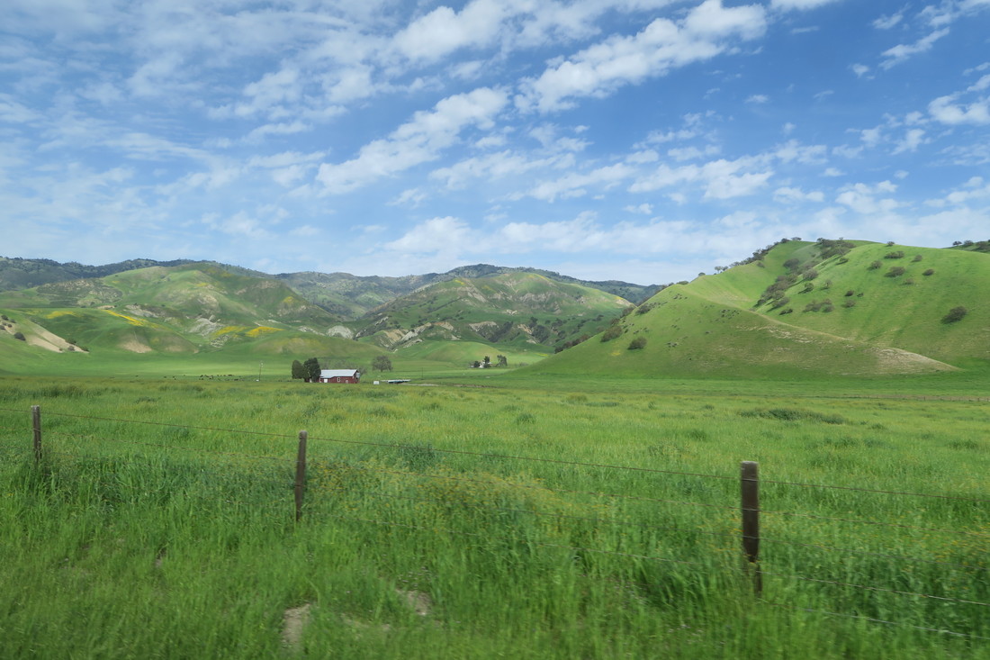 Some of our shots of farmland near Pinnacles National Park could have been taken in England or Wales. There were other surprises too. We did not know, for example, that the Monterey Bay National Marine Sanctuary contains an underwater canyon that is 12,713 feet deep in one spot, larger than the Grand Canyon, which you can reach less than half a mile off shore. We didn't realize that you have to drive six hours north from San Francisco to reach California's border with Oregon. We didn’t expect to see oil rigs from the beach where we camped in Huntington Beach, Orange County. And we were pretty amazed that in a state that is light years ahead of others in some areas of environmental protection, Los Angeles still has the worst traffic problems in the country and four of the most congested freeways in the world. Back to the highlights. After Shane's post about Los Angeles, Death Valley, the Kern Valley, and Sequoia National Forest, we camped at Lake Kaweah while visiting Sequoia and Kings Canyon National Park before heading west to Pinnacles National Park and then on to the coast, where we explored the area between Carmel and Santa Cruz. We then headed north and east, crossing the state again to camp on the Merced River and visit Yosemite National Park, before heading back west to Sacramento and then on to San Francisco and Marin County. We then traveled north up Route 101 through Sonoma and into Mendocino, before making our very last stop just south of the Oregon border at Redwood National Park. I could write a chronology of all the places we loved in that time, but that would be a loooong post, and we're already documenting our daily progress on Facebook, Twitter, Instagram and on the Live Route Mapper on this blog. Instead, along with a selection of photos in the gallery below, here’s an extremely potted version of our favorite California travel moments since leaving Sequoia National Forest. It's almost impossible to distill my kaleidoscope of memories from the last few weeks into a few brief points, but I'm going to try anyway:
A final highlight I should mention was exploring Steinbeck country right after reading John Steinbeck’s Travels with Charley, his account of the three-month US road trip he took in 1960 in a state-of-the-art truck camper, which he named Rocinante, with Charley his poodle at his side. Doing a very similar road trip ourselves, we can understand why he felt so much affection for his home on wheels, and we were also strangely reassured to learn that, just like us, even John Steinbeck suffered flat tires and plenty of other mundane camping setbacks. Mostly, though, it was fascinating to read his observations of 1960s America and of California's Salinas Valley where he was born. Returning there after many years, he was shocked that Salinas, which he recalled having 4,000 citizens, had grown to 80,000 residents, and preferred to remember the Salinas Valley of his childhood, "the permanent and changeless past where my mother is always shooting a wildcat and my father is always burning his name with his love". I wonder what he’d make of the fact that Salinas now has over 150,000 residents, that its Main Street is now dominated by the National Steinbeck Center, and that Rocinante is one of its exhibits? Either way, the National Steinbeck Center is really excellent and our unexpected encounter with the magnificent Rocinante there was yet another treat. We loved our California adventure. AuthorKathryn 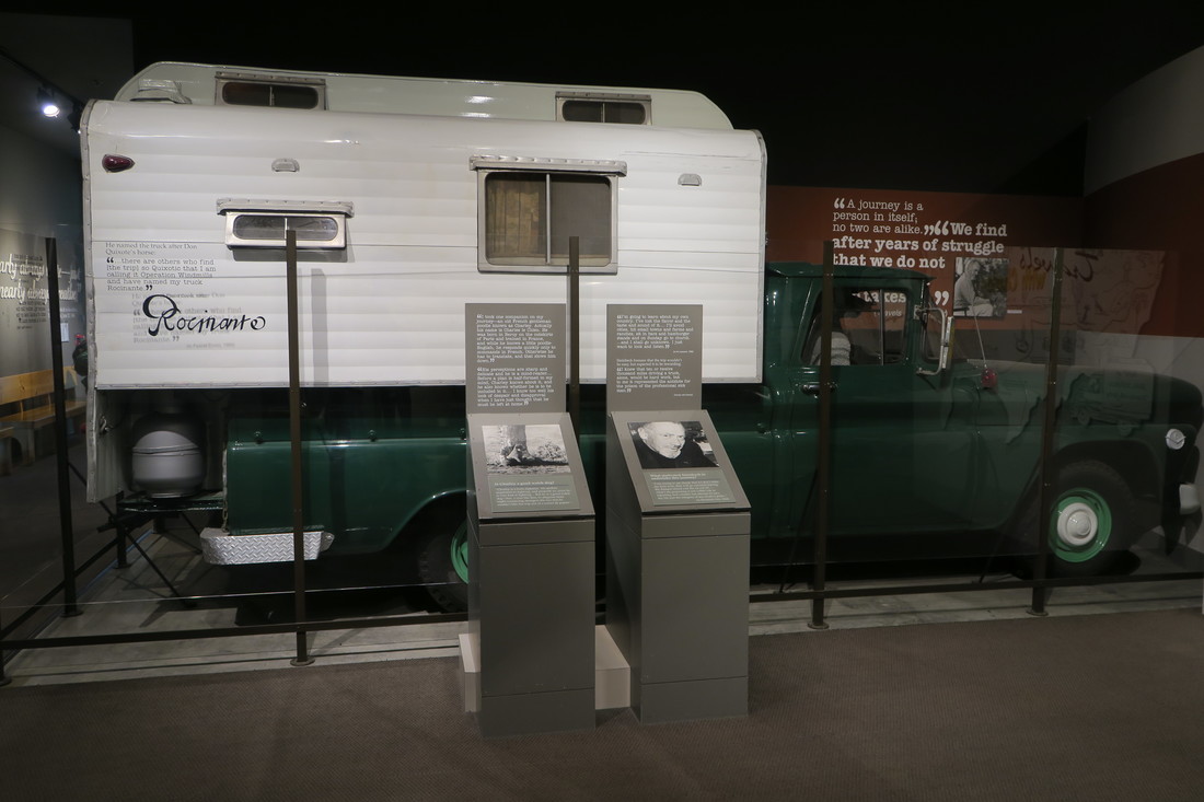 John Steinbeck's 'Rocinante' at the National Steinbeck Center in Salinas. 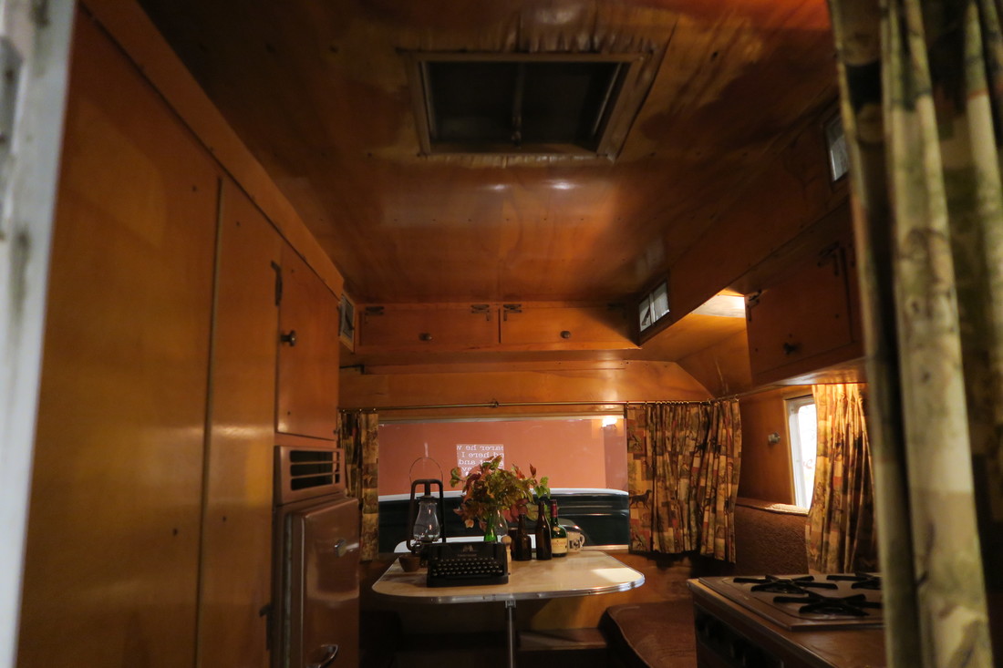 Inside 'Rocinante'. |
AuthorsKathryn Tully and Shane Sesta are a married couple, one American and one Brit, who are spending a year traveling across America and writing about their discoveries. Sonny is their rescue cat and fried chicken aficionado. 
Archives
February 2018
|


 RSS Feed
